Origin of the Kempt Road
The Kempt Road
The Kempt Road was named in honour of Sir James Kempt, Governor of Canada from 1828 to 1830. He was the instigator of this major project. This road was the first land link between the Saint Lawrence region and the Maritime Provinces and it brought many residents to the area who colonized small villages.
John MacNider, a important person in the region at the beginning of the 1800’s, was one of the promoters of this adventure. It should be noted that Grand-Métis was the point of departure of the Kempt Road. Well before the construction of this road, the voyage between Quebec City and Saint John, New Brunswick was completed via the Portage. Following the war between Canada and the United States from 1812 to 1814, Canadian authorities decided it would be a strategic advantage to build a new route farther away from the American border. Constructed rapidly, it was the only route to the inland.
Following a personal request from the Governor in 1824, James Crawford was assigned to personally explore the valley. In a letter dated in 1829, Sir James Kempt informed Colonel York that an expedition under the command of William McDonald would be organized in the Valley of the Matapedia and a second further inland, to the east of the Matapedia River. A report was then prepared by McDonald with the assistance of Robert Ferguson. William McDonald and the surveyor Frédéric Fournier were then able to begin planning the path of the Kempt Road from Grand-Métis to Officer’s Brook in Cross Point on the Restigouche River. This inland road would cover a distance of 98 miles.
Construction of the road began in 1830 under the supervision of William McDonald and Major Wolfe. In June 1831, a tragic accident marked the construction. The surveyor Frédéric Fournier drowned while he was exploring a part of the Kempt Road between Lac Matapédia and Lac-au-Saumon; he was only 22 years old. A sector was completed in 1832, at a cost of 30 000 $. Far from being perfect, but nevertheless passable in certain sectors, this road was completed in the fall of 1832, but in reality, it was only partially completed. From Amqui to Restigouche, it was a succession of mud holes and precipices. It was only finished in 1833.
Over a long period of time and especially during the winter, dog sleds replaced horses for the delivery of mail. This gives you an idea of Kempt Road. Unfortunately, many travellers died on this road due to the cold and poor weather during expeditions. Many drowned when they attempted to cross the rivers. The government established four posts along the road to assist travellers. In 1839, Lieutenant J. W. Gordon prepared a detailed report. He traced the history of the road and gave a detailed description of the state of the road at the time. Recommendations and suggestions were made to improve it.

Remains of the Kempt Road in Grand-Métis (photo Samuel Côté)
The end of the Kempt Road
Following numerous complaints by travellers concerning the condition of the Kempt Road, the government abandoned it in 1857. It was replaced by a new route from Causapscal to the Restigouche River and then along the Matapedia River. This road was named the Matapedia Road and it was completed in 1862. In spite of this, regional authorities hired gardians for the surveillance and maintenance of this road. The Kempt Road will remain alongside our modern-day roads from Grand-Métis to Saint-Octave-de-Métis and Padoue forever, as a witness of our rich past.
Read and followSee
-
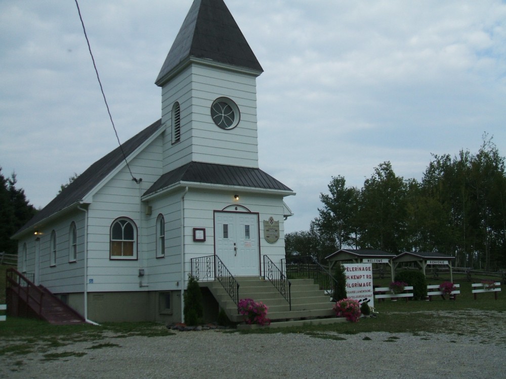
Centre d'interprétation
Automne 2022 De retour après un certain temps avec information pour les gens qui viennent sur le site . Voici [...]
-

Upcoming Activitys
Presentation of a new book entitled: Historic Kempt Road, Hiker’s guide Chemin historique Kempt, Guide du marcheur Date: Saturday, December 8 [...]
-

The "Artisans of Kempt" boutique
The Interpretation Center’s artisanal boutique, «Les artisans du Kempt», sells many local and regional products such as weaving products, woollen socks, paintings, [...]
-
How to reach us
Contact information The Interpretation Center is situated at the intersection of Route 132 and Kempt Road at the following address: [...]
-
Business hours
This year the Interpretation Centre will open on June 24 and close on September 3, 2012. Business hours are from 9:30 to [...]
-

Books, references and links
Books to buy Chemin historique Kempt, 2012, 20$ (available in French and English) Guide du Marcheur (The Hilker’s Guide) Editor: [...]